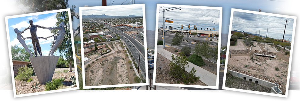
City of Tucson's Grant Road Improvement Project
Current Phase - 3 & 4
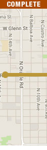
Current Phase 3 & 4 Information (Sparkman to Swan)
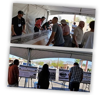
- Pre-Construction Open House, Presentation Materials, Saturday April 13, 2024.
- Pre-Construction Open House, Saturday April 13, 2024, 11am - 12:30pm. Location - 4010 E. Grant Road
- Task Force Meeting Presentation - April 4, 2024
- Phase 3 & 4 (Grant/Dodge) Public Art Progress Report - Updated 2022
- Phase 3 & 4 (Grant/Dodge) Public Art 50% Progress Report - January 7, 2022
Phase 3 & 4 Schedule:
- Phase 3-4 Construction Scheduled to Begin on Monday, May 20, 2024
- Construction Schedule: 2023 - 2026
- Estimated Construction Cost: $63.2 million
- Phases 3 & 4 to be Built Concurrently
Key Project Features:
- Widen roadway to 6 lanes
- Landscaped median islands
- 5-ft bike lanes w/ 2 ft buffer
- 5-8 ft wide sidewalks each side of Grant
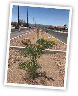
- Landscaping & public art
- Indirect left turns at Alvernon Way
- Protected bike/pedestrian street crossings
- Bus pullouts, shelters & benches
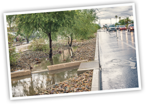
- Drainage features & catch basins
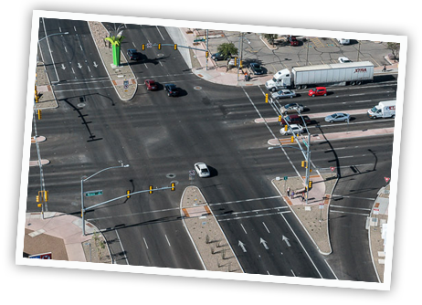
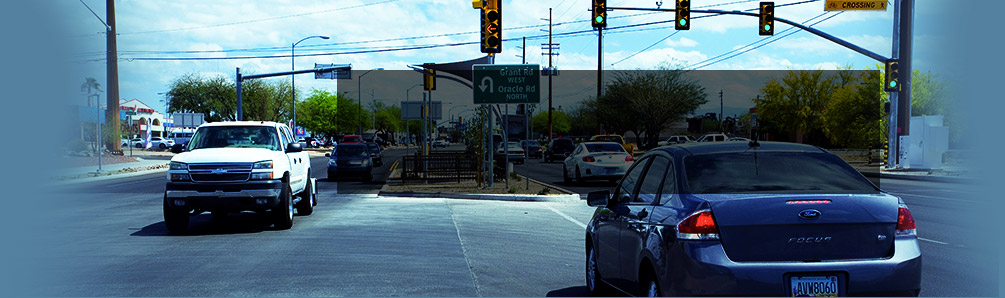
GRANT ROAD CONSTRUCTION OVERVIEW
New Tucson Electric Power poles and lines and telecommunication fiber have been installed. The old power poles have been removed or replaced with new poles. The Department of Transportation and Mobility has selected Granite Construction Company as the contractor for this project. Roadway construction is expected to begin on Monday, May 20, 2024.
The Regional Transportation Authority’s (RTA) board approved the Intergovernmental Agreement (IGA) to provide funding for the upcoming construction phase. The IGA will be presented to the Tucson Mayor and Council on January 11, 2023.
Previous Phase 3 & 4 Information (Sparkman to Swan)
- Task Force Meeting Agenda - September 30, 2021
- Task Force Meeting Presentation - September 30, 2021
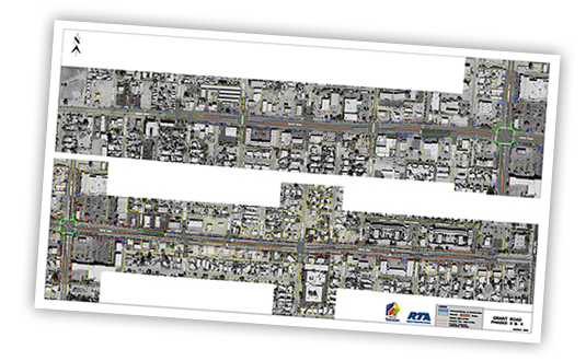
- 100% Plans Map - Phase 3 & 4 - March 9, 2021
- Grant Road Phase 3 & 4 Update March 2, 2021
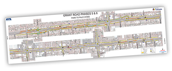
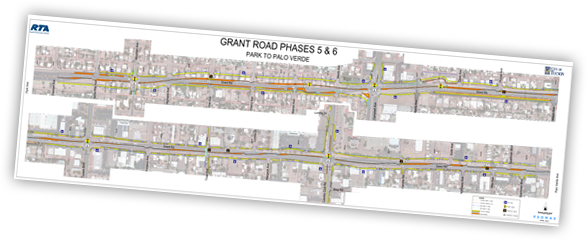
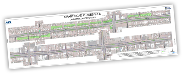
Current Phase 5 & 6 Information (Campbell/Country Club)
-
Phase 5 & 6 - Fact Sheet - April, 2023
-
Phase 5 & 6 - Road Safety Assessment Comment/Resolution - January 2022
Background
The Regional Transportation Authority, a political subdivision of the state and independently governed, has invested more than $1.4 billion in transportation projects and services to improve mobility, safety, economic vitality and quality of life in the region. The RTA collects a half-cent excise (sales) tax from its special taxing district within Pima County to fund its 20-year regional transportation plan. The plan and tax were approved by voters in May 2006. The Grant Road Improvement project is part of the RTA plan and is managed by City of Tucson, Department of Transportation and Mobility. For more information, visit RTAmobility.com.
 Phase 1
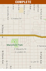 Phase 2
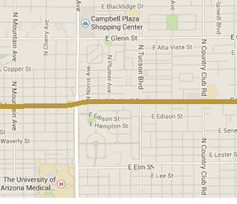 Phase 5&6
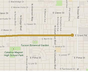 Phase 3&4